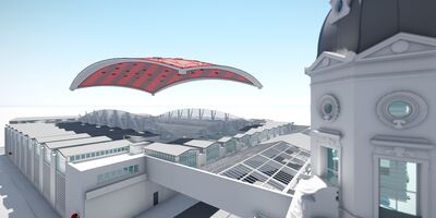
Olympia London
View project
We recognise that precision, safety, and efficiency are crucial to your projects. Our drone solutions offer rapid, disruption-free data collection, ensuring you receive the insights you need with minimal downtime. Using state-of-the-art technology, we provide reliable, high-resolution data to support confident decision-making.
By integrating UAS technology with advanced Thermal, LiDAR, photogrammetry, and AI-powered data analytics, we deliver faster, cost-effective, and highly detailed insights compared to traditional methods.
> See Latest News Article: Plowman Craven launches inspection business to enhance client offering.

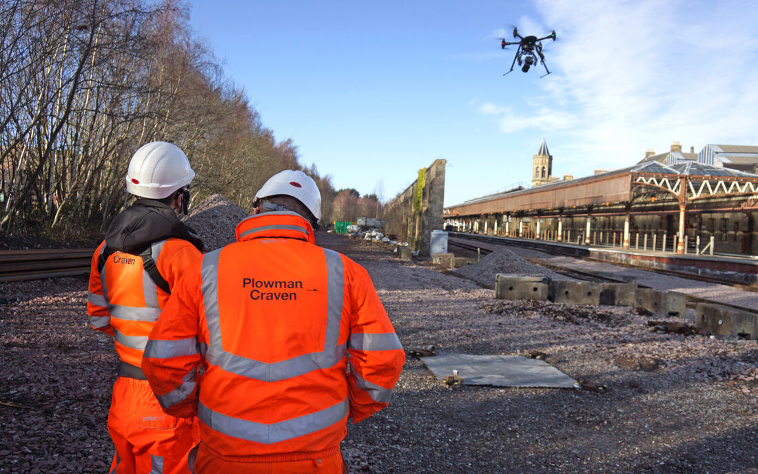
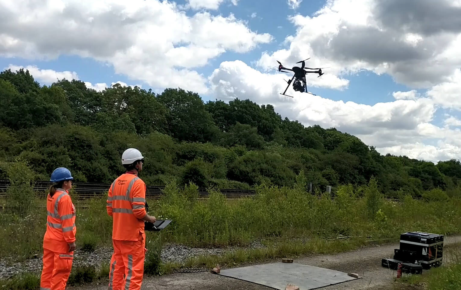
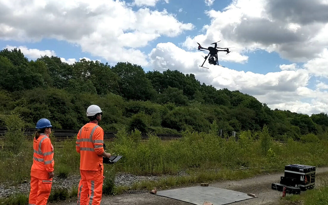
Using state-of-the-art aircraft and high-resolution cameras, Plowman Craven is fully certified by the CAA to conduct drone surveys in even the most congested areas. We're able to capture highly-accurate survey and inspection data, and detailed imagery for any infrastructure or property project.
James Arnott - Commercial Director

Tailored to suit your budget without compromising on quality.
Focused on building lasting client relationships.
Ensuring maximum return on investment.
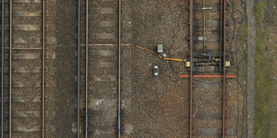
With the ability to rapidly cover large areas and access hard-to-reach locations, Plowman Craven is providing clients a range of Aerial Surveying and Inspection Services, using advanced drone technology to deliver highly-accurate aerial survey data and high-res photography across the property, construction, rail and infrastructure markets.
Let’s discuss your requirements and see how our expertise in Drone Surveys & Inspection can help on your next project.
Plowman Craven has 60 years’ experience providing integrated measurement and consultancy services to the property and infrastructure markets.