Download: Drones for Property Measurement & Inspection Surveys
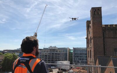
Using state-of-the-art aircraft and high-resolution cameras, Plowman Craven’s highly-trained pilots are fully certified by the Civil Aviation Authority to conduct drone surveys in even the most congested areas, capturing highly-accurate geospatial survey data and high-resolution imagery from even the most challenging or inaccessible location - in a fraction of the time taken by traditional survey methods.
Share this datasheet

